
GIS Department
The Town of Franklin retains a Geographic Information System (GIS) that is used to meet the needs of departments, boards, committees, professionals and citizens. We are continually working on creating, updating and maintaining spatial databases to deliver the most accurate and reliable datasets possible. We are committed to expanding the information available to the public in a simple and economical approach.
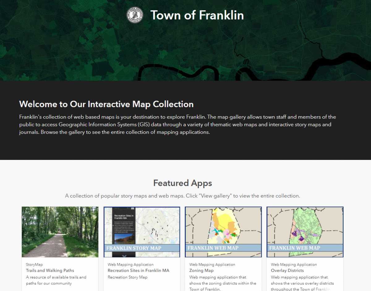
Our GIS database is currently utilized by several online mapping applications, including the Assessor's Online AxisGIS Database and the Town of Franklin's new ArcGIS Online Interative Map Gallery.
Staff Contacts
| Name | Title | Phone |
|---|---|---|
| Kate Hinckley | Director of GIS | 508-553-5500 |
| Natalie Regan-Lampert | GIS Specialist | 508-553-5500 |